01 · Protection is more than a boundary
A marine protected area can regulate selected activities, contain a no-take core, or combine several uses under different rules. Designation is a legal act; effective protection depends on restrictions, implementation, compliance and measurable ecological response. The study is an evidence synthesis and a framework for decisions before spatial design, not a new field survey or stock assessment.
The islands face interacting pressures from fishing, anchoring, boating, coastal development, land–sea pollution, warming and non-indigenous species. The available evidence cannot reliably rank these pressures on common measures or establish whether the local marine system as a whole is declining, stable or improving.
02 · What experience elsewhere supports
Strong, enforced and long-established protection commonly improves exploited-fish biomass, abundance or size inside boundaries. Spillover may benefit adjacent fisheries in some settings, but outcomes depend on species, habitats, scale, rules, staffing, finance and compliance. Biological recovery does not automatically produce higher catches, profits or local income.
Comparative cases offer lessons rather than ready-made boundaries. Medes, Torre Guaceto, Zakynthos and Gökova illuminate visitor pressure, local fleets and compliance. Gyaros and Columbretes demonstrate important surveillance issues but are weaker spatial analogues for an inhabited, tourism-intensive island system. Alonissos and the Inner Ionian illustrate the challenge of connecting broad designation with enforceable activity-specific rules.
03 · The local legal and evidence baseline
As documented at the study’s 2 August 2026 evidence cut-off, the marine Special Protection Area GR4220025 was operative and legally meaningful. It covers only part of the wider system and is not automatically a general no-fishing, no-anchoring or no-diving rule. The published July 2025 Southern Cyclades consultation footprint excludes Paros and Antiparos; the study did not verify a public map of the signed July 2026 draft.
The 2011 shallow-water alien-species survey is a historical reference, not a contemporary measure of fish biomass, demersal stocks or benthic integrity. Personal observations identify useful resurvey locations but do not establish causes. Survey sectors shown in the study are sampling concepts, not proposed legal protection boundaries.
04 · Five scenarios, a conditional sequence
S0—strengthened existing instruments—is the immediate foundation: a shared legal and habitat map, a multi-year ecological baseline, an enforcement ledger and a five-year recurrent cost model. S1—targeted measures—is the preferred provisional pathway, matching demonstrated pressures to specified habitats, legal powers, enforcement methods and monitoring indicators.
S2—a small no-take core—remains a conditional, time-bounded pilot with matched reference sites, fishing-dependence analysis, transition safeguards and exit rules. S3—a zoned multiple-use system—is a design option whose delivery and finance conditions remain unresolved. S4—a broader network—is a longer-term hypothesis for connectivity and representation. Escalation is justified only if narrower measures cannot meet a defined ecological objective and adequate delivery capacity is demonstrated.
05 · Fisheries, tourism and fairness
Restrictions may impose immediate costs on small or less-mobile fishers while ecological benefits take years. Assessment must distinguish biomass and spillover from catch, profit, employment and welfare, and measure recreational fishing and spearfishing separately from professional activity. Fishing-ground dependence requires privacy safeguards and attention to hardship and displacement.
Diving, sailing and excursions may support work and conservation finance while also adding anchoring damage, disturbance, crowding and service costs. Visitor fees cannot simply be assumed to cover management, and revenue must not justify ecological overuse. Employment should be evaluated through full-time-equivalent work, wages, contract duration, residence and ownership.
06 · Regional governance and limits
Shared Aegean ecosystems make cooperation and comparative monitoring important. The study’s evidence does not establish Turkish fishing as a measurable cause of ecological decline around Paros–Antiparos. Vessel presence is not equivalent to fishing; fishing is not automatically illegal; and illegality alone does not establish ecological effect. A local MPA cannot remove mortality outside its lawful perimeter or eliminate warming and invasive species.
07 · What could change the recommendation?
A broader design could become justified by habitat and fish surveys showing a need for connected protection; full-year effort and catch data identifying substantial local fishing mortality and a fair, enforceable geometry; or a verified operative decree materially changing local rules. Representative participation, credible staffing and patrol arrangements, sanctions and five-year finance are essential conditions.
Where mapped anchoring exposure demonstrates concentrated Posidonia damage, targeted no-anchor controls may be warranted. Mooring fields require their own seabed, engineering, meltemi-load, maintenance, capacity and vessel-pollution assessments. Annual reporting should cover ecological, economic, distributional, enforcement and financial results, including dissent and policy revisions.
The central judgement
The recommendation concerns sequence: begin with the strongest evidence and a workable delivery chain, measure the unknowns, retain the option to escalate and make each intervention accountable to ecological, social and fiscal results. This is a conditional case for adaptive protection, not a completed zoning proposal.
Condensed overview of the supplied Version 1.4 study and English executive summary. Evidence cut-off: 2 August 2026. Legal and policy statements describe that evidence base, not a new verification of current law. The original English PDFs are reproduced unchanged; the Greek PDF is a concise companion adaptation with the original cover and map plates.
Download the publications
Original English executive summary, concise Greek adaptation with maps, and the full English study.
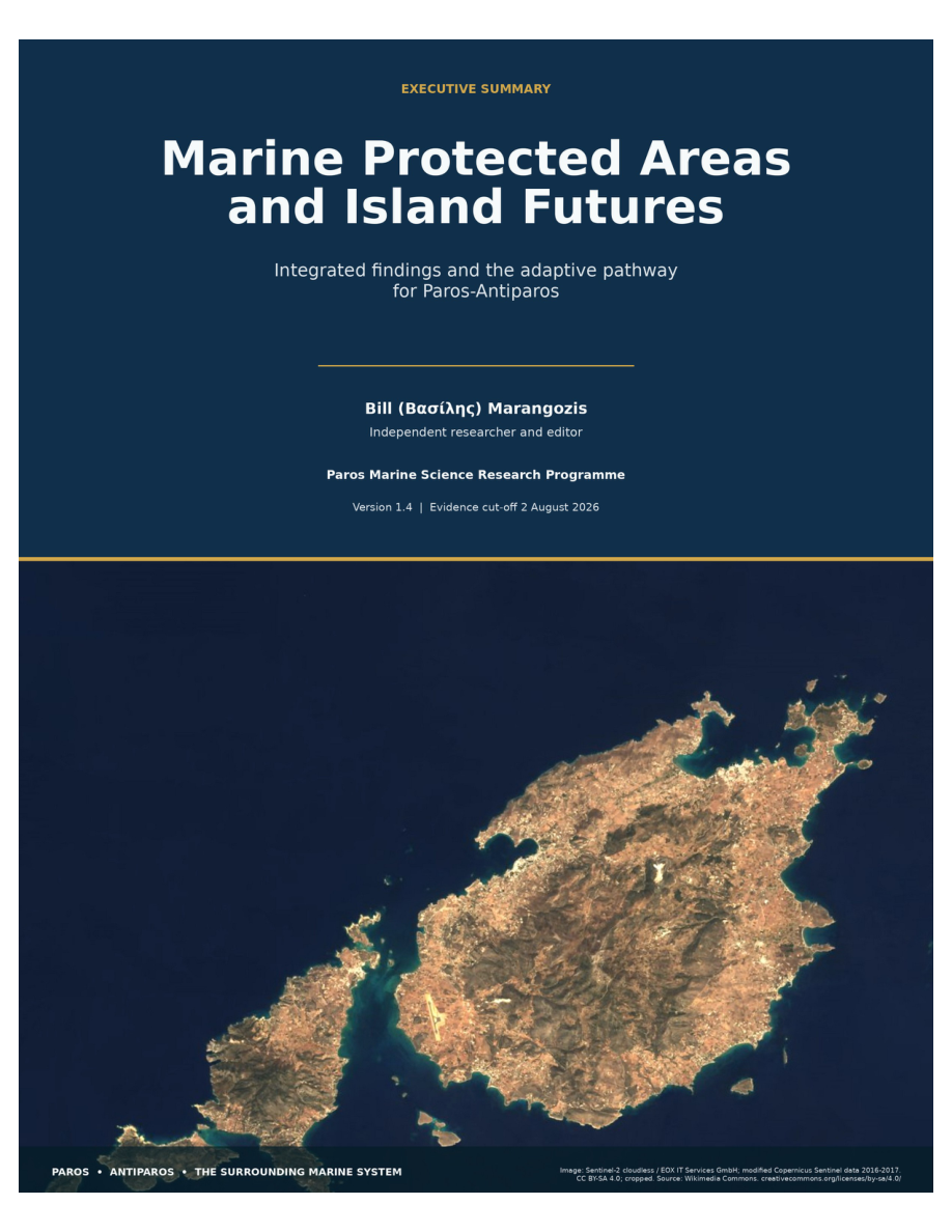
Marangozis, B. Marine Protected Areas and Island Futures. Version 1.4. Paros Marine Science Research Programme. Evidence cut-off: 2 August 2026.